
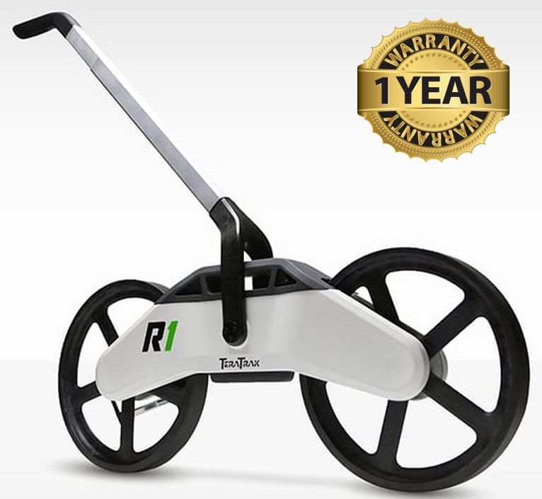

Digitrak TeraTrak R1 Terrain Mapper
Condition: Refurbished / Calibrated
Warranty: 1 Year Warranty
Shipping: USA & Worldwide
- Digitrak TeraTrak R1 Terrain Mapper (BC# -L/T*)
Digitrak TeraTrak R1 Terrain Mapper
The TeraTrak R1 is a real-time terrain-mapping tool for horizontal directional drilling. It provides accurate and continuous topography data and the location of utilities and waypoints at all stages of the drilling process, which previously required expensive survey methods. Used in conjunction with the TeraTrak app, the R1 visualizes underground hazards and the precise elevation and distance measurements along the drill path. It streamlines the planning for job site boring, making it more accurate, efficient, cost effective, and accessible. As the ground is becoming increasingly crowded with utilities, the TeraTrak R1 makes it far less likely that the drill crew will run into underground hazards.
Increased accuracy reduces mistakes that could potentially lead to harmful drilling. The TeraTrak R1 is the first of its kind in the HDD industry, giving DCI a competitive advantage over its competitors, offering a suite of products that work together to provide an unmatched HDD guidance tool set. DCI has a reputation for developing rugged, elegantly designed construction equipment that are easy to operate.
A functional and easy-to-use device by anyone that also included: (a) an ergonomic, easily adjustable pivot arm adapting to the height of any user, (b) optimized portability and collapsibility allowing users to set up and break down the product easily and efficiently, (c) a universal device mounting solution providing a heads up display, paired with real-time data, and (d) a kickstand to provide hands-free use and storage
Features
- Determine rig placement with a rod-by-rod entry plan
- Create point-to-point bore plans as you go
- Export TeraTrak data for use in bore planners
- Faster bores
- More productive and profitable drill crews
- Fewer re-drills
- Fewer bent rods
- Simplifies the task and time of site surveys
Specifications
| Accuracy Two-way (elevation) | Two-way (elevation)1 ±2in (5cm) over 500ft (152m) |
| Accuracy One-way (elevation) | ±2in (5cm) over 125ft (38m) |
| Connectivity | Bluetooth streaming in real-time to a mobile device mounted on the handle |
| Compatibility | Works with Android and Apple mobile devices |