
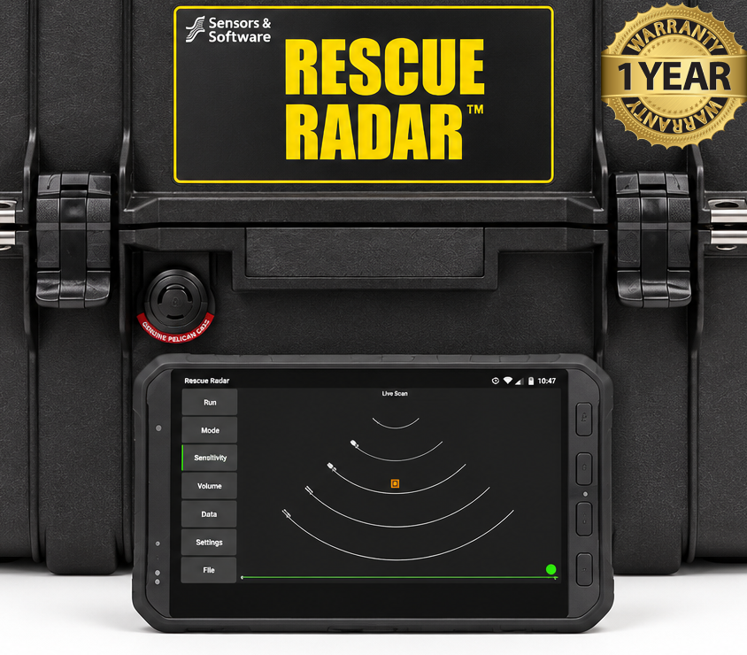

Sensors & Software Rescue Radar V3 GPR
Condition: Refurbished / Calibrated
Warranty: 1 Year Warranty
Shipping: USA & Worldwide
- Sensors & Software Rescue Radar V3 GPR (BC# -L/T*)
- Rugged Field Tablet (BC# -L/T*)
- Rescue Radar Sensor (BC# -L/T*)
- Carrying Case (G)
Sensors & Software Rescue Radar V3 GPR
The Sensors & Software Rescue Radar V3 is a ground-penetrating radar (GPR) system designed for search and rescue operations. Teams use it to look for signs of people trapped beneath rubble, soil, snow, or other material after events such as building collapses, earthquakes, and landslides.
The system sends radar signals below the surface and analyzes the signals that return. It looks for subtle changes caused by movement, including body movement and breathing. Results appear on a tablet, helping rescuers identify areas that may need closer investigation.
Rescue Radar can be placed at different points across a search area. At each position, the operator runs repeated scans and looks for consistent movement indicators. The display provides an estimated distance to a possible target, which helps a team narrow down where to focus its efforts.
The third-generation system is built for rapid deployment in difficult conditions. Its radar equipment operates from a rugged transport case, and a tablet connects through a browser-based interface. The unit stores data internally and can continue collecting it if the Wi-Fi connection to the tablet is interrupted.
Rescue Radar gives responders another way to assess a hazardous site while limiting the need to enter unstable areas immediately. Its readings are clues to investigate alongside other search methods; they do not, by themselves, confirm that a person is present or establish an exact location.
Features:
- Detects subtle movement, including breathing, beneath rubble or other material.
- Displays the estimated distance to a possible target on a tablet.
- Offers Basic Mode for a quick search and Time Lapse Mode for monitoring movement across repeated scans.
- Uses selectable depth display settings to suit the search area.
- Operates from a rugged, weatherproof transport case for rapid deployment.
- Connects to its control tablet over Wi-Fi through a browser-based interface.
- Continues recording if the tablet’s Wi-Fi connection drops, then reconnects without losing stored data.
- Includes a rechargeable battery with a stated operating time of 5–8 hours.
- Exports geotagged results by USB or Wi-Fi
| Specification | Rescue Radar V3 |
|---|---|
| Type | Ground-penetrating radar for search and rescue |
| Center frequency | 500 MHz |
| Operating modes | Basic and Time Lapse |
| Selectable depth settings | 2, 4, 8, 10, 20, or 30 m |
| Dimensions | 530 × 325 × 325 mm |
| Weight without battery | 7.71 kg |
| Weight with battery and tablet | 11 kg |
| Operating power | 1.25 A at 12 V |
| Type | Rechargeable sealed lead-acid gel cell |
| Capacity | 9 Ah |
| Typical operating time | 5–8 hours |
| Input | 110–240 V AC, 50/60 Hz |
| Control connection | Wi-Fi, IEEE 802.11 b/g/n |
| Maximum control distance | 75 m |
| Operating system | Android |
| Dimensions | 212 × 133 × 19 mm |
| Weight | 0.55 kg |
| Radar electronics temperature range | −40°C to +50°C |
| Display unit temperature range | −10°C to +50°C |
| Results transfer | USB or Wi-Fi |